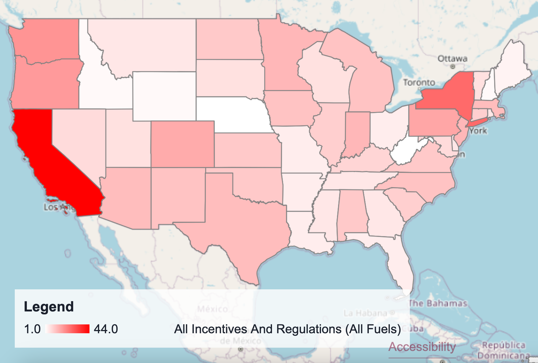
In my sophomore year summer, I started working with Dr. Eamer on her geospatial tool in the area of tough to decarbonize transportation modes.
Dr. Eamer's dashboard helps consortium companies assess the best ways to approach decarbonization and developmnt by drawing from publically sourced geospatial
data. I am helping implement a feature to look at attributes of the data more finely. In the summer, my focus was on state regulations and incentives, and currently,
I am working on U.S. energy sector data. To read more about current work, you can visit
Dr. Eamer's article from Sep. 2024
. Visit
the official website of the MIT Climate and Sustainability Consortium
to read more about their mission and
the official webpage of the Tough Transportation Modes focus area
for a broader overview of the project.